Gnss Rtk System GPS Receiver Road Construction Surveying Equipment

Customization: Available
Main Application: Surveying and Mapping
Condition: New

Product Description

Basic Info.
Model NO.
TS5 GNSS RTK System
Satellites Support
GPS, Glonass, Bds, Sbas, Qzss
Channel
220
Rtk Horizontal Accuracy
8mm+1ppm RMS
Rtk Vertical Accuracy
15mm+1ppm RMS
Certification
CE, FCC
Waterproof
IP67
Initialization Time
<10s
Initialization Reliability
>99.99%
Dimension
16.4cm*8.35cm
Operating Temperature
-40℃~75℃
Main Unit Power
4.2W
Power Input
6~28V DC
Production Capacity
1000 Sets/Week
Product Description
Gnss Rtk System GPS Receiver Road Construction Surveying Equipment
  • Magnesium alloy casing, smaller in size and lighter in weight
  • Dual mode Bluetooth, NFC connection
  • Mini USB interface
  • Professional measurement software
  • Full-band air antenna, strong satellite signal receiving capability
  • Multi-star system core, powerful and stable performance
  • Perfectly compatible with various CORS systems
Technical Parameters
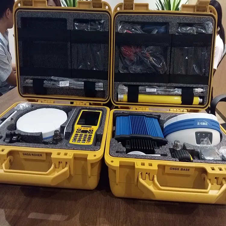
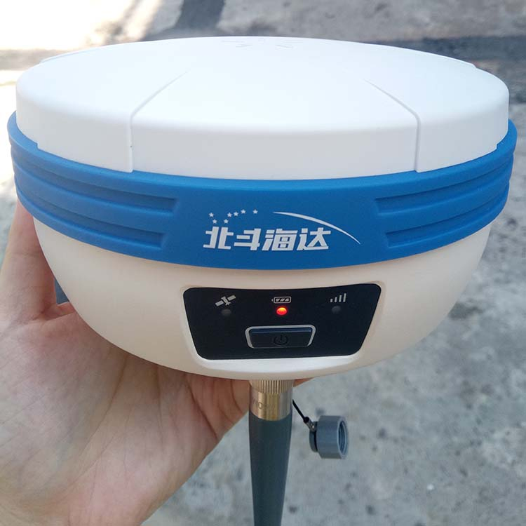
Technical Specifications of TS5 GNSS RTK System
Measurements
Channels220
Satellite Signals TrackedGPS: L1, L2C/L2P, L5; BDS: B1, B2, B3; GLONASS: L1, L2
Output Frequency1Hz~20Hz
Output FormatASCII, NMEA-0183, Binary code
Accuracy
Static GNSS SurveyingHorizontal: 2.5mm+0.5ppm RMS; Vertical: 5mm+0.5ppm RMS
RTK SurveyingHorizontal: 8mm+1ppm RMS; Vertical: 15mm+1ppm RMS
InitializationTime: <10s; Reliability: >99.99%
Physical & Electrical
MemoryBuilt-in 8G flash drive
Weight1200g (Including Lithium battery)
Battery SystemInternal dual compartment 5000mAh, up to 10 hours for GPRS mobile
Power Input6-28V DC; Consumption: 4.2W
EnvironmentOperating Temp: -40ºC~75ºC; Storage Temp: -55ºC~85ºC
Communication
Internal UHF Radio450MHz~470MHz; 0.5W/1W/2W adjustable
External UHF Radio450MHz~470MHz; 5W/10W/20W/30W adjustable
Network & Wireless3G (WCDMA/HSDPA/EDGE/GPRS); Double modes Bluetooth; NFC
Frequently Asked Questions
What is the accuracy of the TS5 GNSS RTK System?
The system provides high precision with RTK Horizontal Accuracy of 8mm+1ppm RMS and Vertical Accuracy of 15mm+1ppm RMS. For static surveying, it reaches up to 2.5mm+0.5ppm RMS horizontally.
How long does the initialization take?
The TS5 system features a rapid initialization time of less than 10 seconds with a reliability rate of over 99.99%.
Is the equipment suitable for harsh environments?
Yes, it is designed with a magnesium alloy casing and is IP67 waterproof. It operates effectively in temperatures ranging from -40ºC to 75ºC.
Which satellite constellations are supported?
The TS5 supports multiple satellite systems including GPS (L1, L2C/L2P, L5), GLONASS (L1, L2), BDS (B1, B2, B3), as well as SBAS and QZSS.
What is the battery life of the unit?
The internal dual-compartment lithium battery system has a total capacity of 5000mAh, providing up to 10 hours of continuous operation for GPRS mobile tasks.
What communication options are available?
The system includes internal and external UHF radio (450-470MHz), 3G network communication, dual-mode Bluetooth, and NFC connection for easy pairing.

Related Products